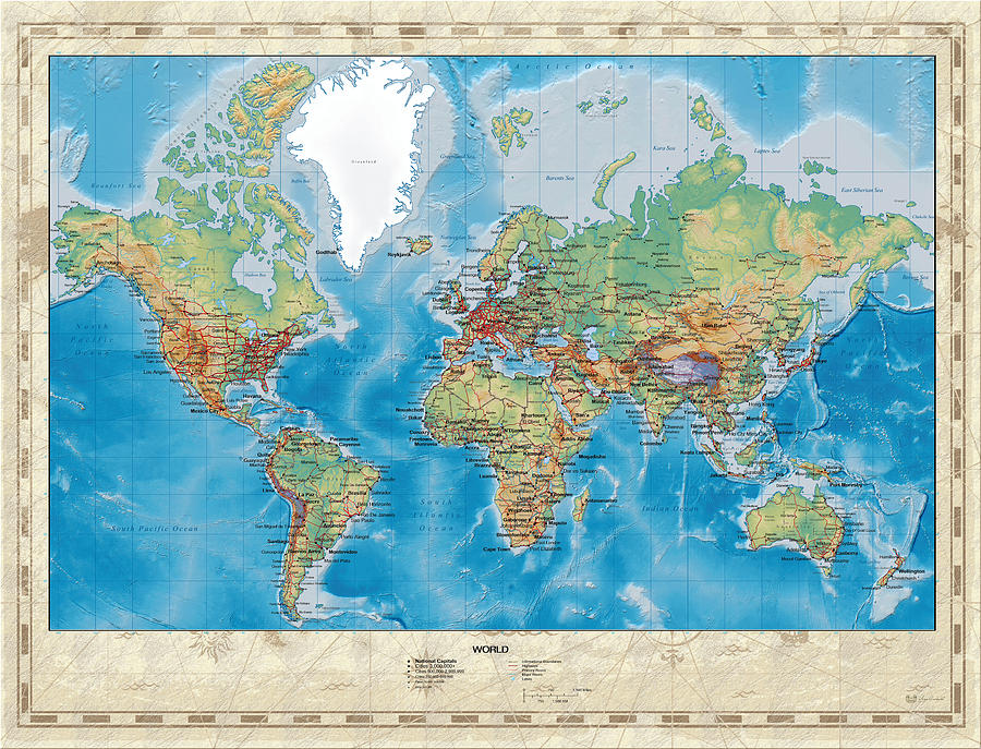
Huge Hi Res Mercator Projection Physical and Political Relief World Map

by Serge Averbukh
Title
Huge Hi Res Mercator Projection Physical and Political Relief World Map
Artist
Serge Averbukh
Medium
Digital Art - Digital Painting
Description
Introducing "Maps - Cartography of Past and Present" collection by C.7 Design Studio, showcasing meticulous digital reproductions of various historical and modern Geographic maps. Here you will find framed and wrapped/stretched canvas fine art prints, featuring Huge High Resolution Mercator Projection Physical and Political Relief World Map.
A map is a visual representation of an area - symbolic depiction highlighting relationships between elements of that space such as objects, regions, and themes. Many maps are static two-dimensional, geometrically accurate (or approximately accurate) representations of three-dimensional space, while others are dynamic or interactive, even three-dimensional. Although the earliest maps known are of the heavens, geographic maps of territory have a very long tradition and exist from ancient times. The word "map" comes from the medieval Latin Mappa mundi, wherein mappa meant napkin or cloth and mundi the world. Thus, "map" became the shortened term referring to a two-dimensional representation of the surface of the world. Maps of the world or large areas are often either 'political' or 'physical'. The most important purpose of the political map is to show territorial borders; the purpose of the physical is to show features of geography such as mountains, soil type or land use including infrastructure such as roads, railroads and buildings. Topographic maps show elevations and relief with contour lines or shading. Geological maps show not only the physical surface, but characteristics of the underlying rock, fault lines, and subsurface structures. Maps that depict the surface of the Earth also use a projection, a way of translating the three-dimensional real surface of the geoid to a two-dimensional picture. Perhaps the best-known world-map projection is the Mercator projection, originally designed as a form of nautical chart. Aeroplane pilots use aeronautical charts based on a Lambert conformal conic projection, in which a cone is laid over the section of the earth to be mapped. The cone intersects the sphere (the earth) at one or two parallels which are chosen as standard lines. This allows the pilots to plot a great-circle route approximation on a flat, two-dimensional chart.
The Mercator projection is a cylindrical map projection presented by the Flemish geographer and cartographer Gerardus Mercator in 1569. It became the standard map projection for nautical purposes because of its ability to represent lines of constant course, known as rhumb lines or loxodromes, as straight segments which conserve the angles with the meridians. While the linear scale is equal in all directions around any point, thus preserving the angles and the shapes of small objects (which makes the projection conformal), the Mercator projection distorts the size and shape of large objects, as the scale increases from the Equator to the poles, where it becomes infinite.
Uploaded
March 5th, 2014
Embed
Share
Comments
There are no comments for Huge Hi Res Mercator Projection Physical and Political Relief World Map. Click here to post the first comment.


